Point Cloud Surveys
When accuracy matters, ECR 360 uses LiDAR that calculates 1.28 million measurements per second.

Let us help you collect, analyze, and use spatial data to make informed decisions quickly. With our commercial UAV and survey grade LiDAR technology, we can deliver processed spatial data in a matter of days, not weeks or months!
When accuracy matters, ECR 360 uses LiDAR that calculates 1.28 million measurements per second.

Don’t have months to wait? Utilizing commercial grade UAV technology with survey grade LiDAR, we can produce highly accurate topographic maps in days!

Need to capture a site quickly? ECR 360 can dramatically reduce the time it takes to capture existing conditions.

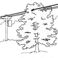
Let us help you quickly view and catalog the highest risk areas for your power-line corridor.
